Detailed Physical Maps
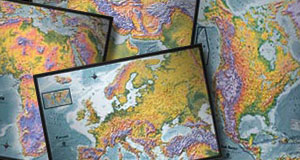
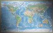
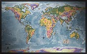
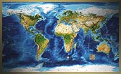
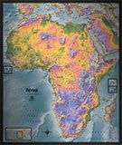
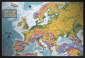
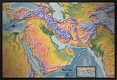
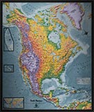
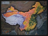
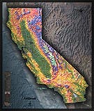
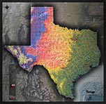
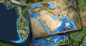
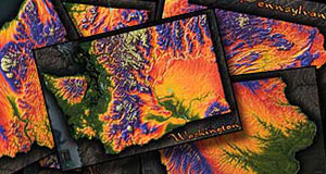
These detailed physical maps are the best of both worlds - a beautiful physical background with lots of Political information too.
These detailed physical maps display the land's terrain, and are loaded with information and details.
All of these physical maps are highly detailed with lots of labels. Labels also include all physical features (mountains, peaks, rivers, lakes, seas, deserts, etc.) but also include a lot of political information like boundaries, capitals, cities, and towns.
Because they use a topographic physical background image, they help to prominently show the features in the terrain and make for stylish maps that will look stunning on display!
World Physical Maps
Continent Physical Maps
Country Physical Maps
State Physical Maps
Other Less Detailed Physical Map Options
You may also be interested to check out these other physical maps which focus more on the style of the image and less on map details:
